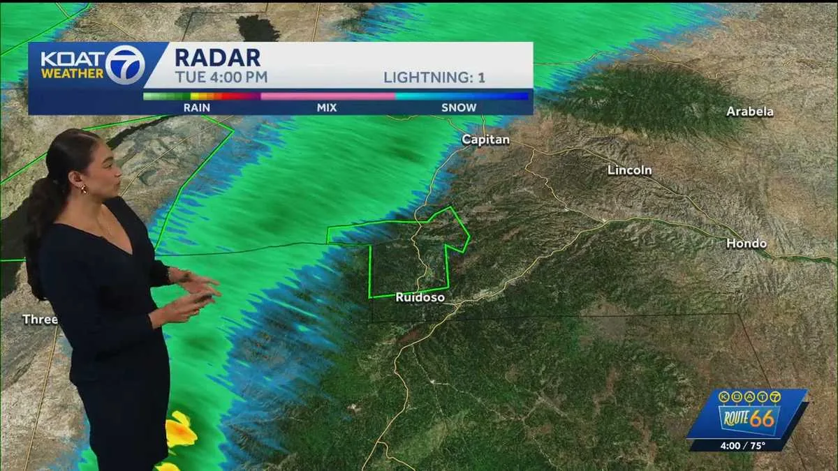
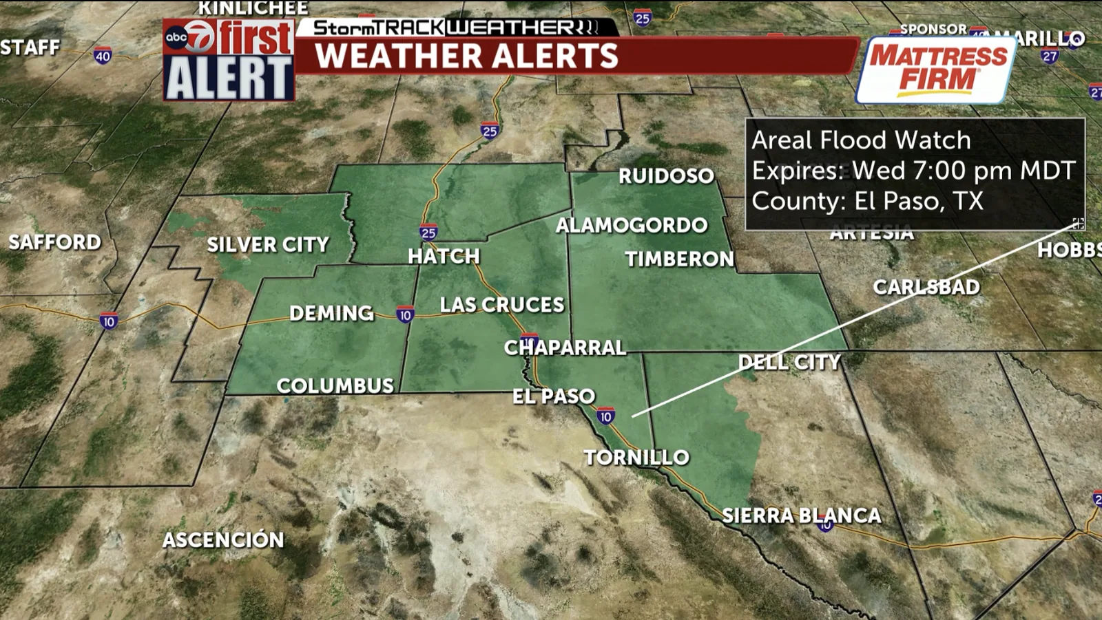
EL PASO, TX — A Flood Watch is in effect for much of the Borderland from Tuesday afternoon through Wednesday evening, covering areas around El Paso and Las Cruces. The National Weather Service says periods of rain may be heavy enough to cause flooding in at least some locations.
The watch does not mean flooding is happening everywhere, but it does mean conditions are favorable for it. Officials are warning that already saturated ground, slow-moving runoff and quick bursts of rain could combine to create dangerous travel problems, especially in low-lying places and near arroyos.
Rainfall threat spreads across El Paso, Las Cruces and nearby communities
The watch includes a broad swath of far West Texas and southern New Mexico, with El Paso and Las Cruces among the main cities named in the alert. The National Weather Service says the rain threat is expected to last through Wednesday evening, giving the region an extended window for flooding concerns.
Flood Watches are typically issued when forecasters see a chance that rain could exceed the ability of local drainage systems or quickly fill normally dry washes. In this case, the concern is not only about heavy rain totals in one place, but also about where the most intense downpours may set up during the watch period.
Low-water crossings and arroyos are among the biggest concerns
Officials are paying close attention to spots that flood first, including low-water crossings, drainage channels and arroyos. Those areas can become hazardous fast when rain falls upstream, even if the sky overhead is only briefly stormy.
Motorists in the Borderland are being urged to stay alert for sudden water over roads and to avoid driving through flooded stretches. It can be difficult to judge the depth or strength of moving water, and conditions may change quickly after a storm passes.
Because the watch lasts into Wednesday evening, residents should be prepared for repeated rain chances rather than a single isolated burst. That makes local road conditions especially important for commuters, school travel and anyone crossing wash-prone routes.
What a Flood Watch means before water starts rising
A Flood Watch is an advance notice from the National Weather Service that flooding is possible. It is different from a Flood Warning, which is used when flooding is happening or is imminent.
That distinction matters because a watch is meant to give people time to plan. In practical terms, it is a signal to monitor forecasts, review alternate routes and be ready to move to higher ground if water begins to rise in the wrong place.
For Borderland communities, that preparation is especially important in areas where drainage is limited or where monsoon-season storms can dump a lot of rain in a short period. Even brief heavy rain can overwhelm streets and washes that are usually dry.
Travel and flood safety steps officials want residents to remember
Forecasters and emergency officials generally advise drivers to turn around, not through, flooded roads. Water may be deeper than it appears, and fast-moving runoff can sweep away vehicles or strand people in dangerous spots.
Residents are also encouraged to keep an eye on local weather alerts, especially overnight or during periods of heavier rain. If a route is known to flood, it is safer to choose another way before conditions worsen rather than after water has already reached the pavement.
People in flood-prone neighborhoods should make sure drains, gutters and yard areas are clear where possible. That kind of preparation can help reduce nuisance flooding, though it will not eliminate the risk when rain is intense.
Why this alert matters for a region prone to fast runoff
The Borderland’s terrain can make flooding difficult to predict block by block. Rain that falls on higher ground can move quickly into lower areas, creating problems far from the storm’s core.
That is one reason the National Weather Service uses watches to cover broad areas when the atmosphere favors heavy rain. A single slow-moving storm cell can affect roads, neighborhoods and crossings over a wide geography, even if the rainfall is uneven.
By keeping the watch in place from Tuesday afternoon through Wednesday evening, forecasters are signaling that the risk is not limited to one short timeframe. Residents in both urban and outlying areas should stay weather-aware until conditions improve.