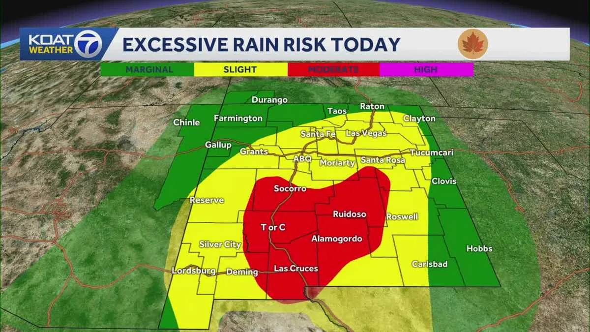
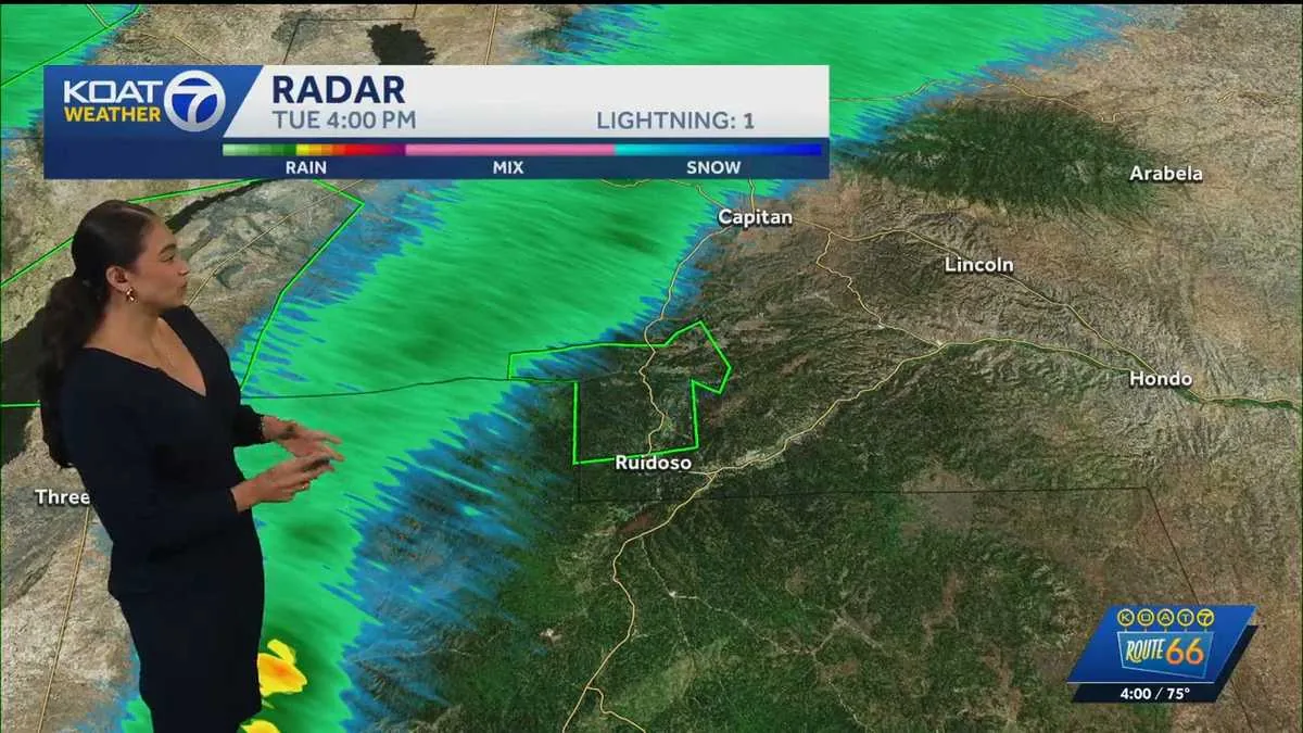
ROSWELL, NM — A flash flood warning is in effect for the South Fork burn scar in south-central Lincoln County, with the National Weather Service warning that dangerous runoff could continue through 6:15 p.m.
Thunderstorms are producing heavy rain over the area, and officials say flash flooding is already underway or expected to begin shortly. Rainfall totals of 0.5 to 1.25 inches have already been reported, with another 0.25 to 0.75 inches possible.
The warning focuses on the burn scar, where denuded terrain can send water and debris rushing downhill quickly. That makes the threat especially urgent for people near creeks, canyons and roadway crossings.
Heavy rain is falling over the burn scar and could continue at a fast rate
The National Weather Service said thunderstorms over the South Fork burn scar are producing rainfall at a rate of 0.25 to 0.75 inches in an hour. That kind of intensity can overwhelm drainage channels and create sudden flooding in a short period of time.
Officials also said the area had already picked up between 0.5 and 1.25 inches of rain before the warning was issued. With more precipitation still possible, the warning zone remains vulnerable to rapid rises in water levels.
Because burn scars are often more likely to shed water quickly, even a relatively small amount of rain can create serious hazards. The alert is meant to give residents and travelers time to move out of low-lying areas before conditions worsen.
Canyons and drainages named in the warning include Upper Canyon and Rio Ruidoso
The warning specifically mentions impacts to Upper Canyon, Brady Canyon and Perk Canyon, along with the Cedar Creek, Eagle Creek and Rio Ruidoso drainages. Those locations are among the places where runoff could build quickly and turn dangerous.
Officials said the flooding threat may affect nearby reservoirs, bridges, culverts and roadways. That means water can interrupt travel not only in stream channels, but also where roads and crossings funnel runoff into narrow points.
Areas along the Rio Ruidoso could also see effects downstream of Ruidoso Downs. The National Weather Service warned that the flood threat may extend beyond the immediate burn scar as water moves through connected drainage paths.
Debris flows are a major concern when rain hits a burn scar
In addition to flooding, the warning notes that debris flows are possible. Those flows can contain rock, mud, vegetation and other loose materials that were left unstable after the fire.
That kind of runoff can move with little warning and become especially destructive in narrow channels and low crossings. Even if water levels do not look extreme at first, the added debris can make the hazard more dangerous than ordinary flooding.
Officials are using the warning to highlight that the burn scar’s ground conditions make the threat different from a typical thunderstorm flood event. The combination of fast rain, loose material and steep drainage paths can quickly escalate the danger.
Nearby infrastructure could be affected by rising water and fast-moving runoff
The National Weather Service said reservoirs, bridges, culverts and roadways in the warned area could all be impacted. Those are the kinds of places where floodwater often concentrates and where even shallow water can create serious problems.
Travelers may encounter water across roads or debris washed onto pavement. In burn-scar environments, that can happen suddenly as runoff collects and funnels through drainage channels.
Because the warning includes both immediate flooding and the possibility of more rain, the situation remains active for anyone living, working or driving near the affected canyons and drainages. Officials are urging people to stay aware of changing conditions until the warning expires.
What residents and drivers should expect before the warning expires
The warning remains in effect until 6:15 p.m., and the National Weather Service says additional rainfall of 0.25 to 0.75 inches is still possible. That means the flood threat may continue even after the heaviest rain has passed.
People in or near the burn scar should be prepared for rapid changes in water levels, especially around creek beds, canyon bottoms and road crossings. The warning’s language indicates that flooding is either already happening or could begin very soon.
For residents and drivers, the key takeaway is that this is not a broad-area rain advisory. It is a targeted flash flood warning for a vulnerable burn scar, where even limited additional rainfall can produce life-threatening runoff and debris movement.